Occasionally, we receive requests for aerial photography in areas where drones are either prohibited or tightly restricted. In the Florida Keys, these locations start cropping up around mile marker 15 in the vicinity of Sugarloaf Shores, Big Coppitt Key, Geiger Key and some portions of Stock Island due to it’s proximity to NQX-Key West, which is The Boca Chica Air Field. This area is home to intensive military jet activity and can take several weeks to attempt to procure the necessary FAA Waiver PLUS provisional authorization from NQX for a very restricted drone operation requiring direct coordination with NQX Base Operations before, during and after the flight.
Additionally, EYW-Key West International airspace has its own set of rules and safety measures that must be followed in order to lawfully conduct any drone activity in the the class D airspace encompassing all of Key West.
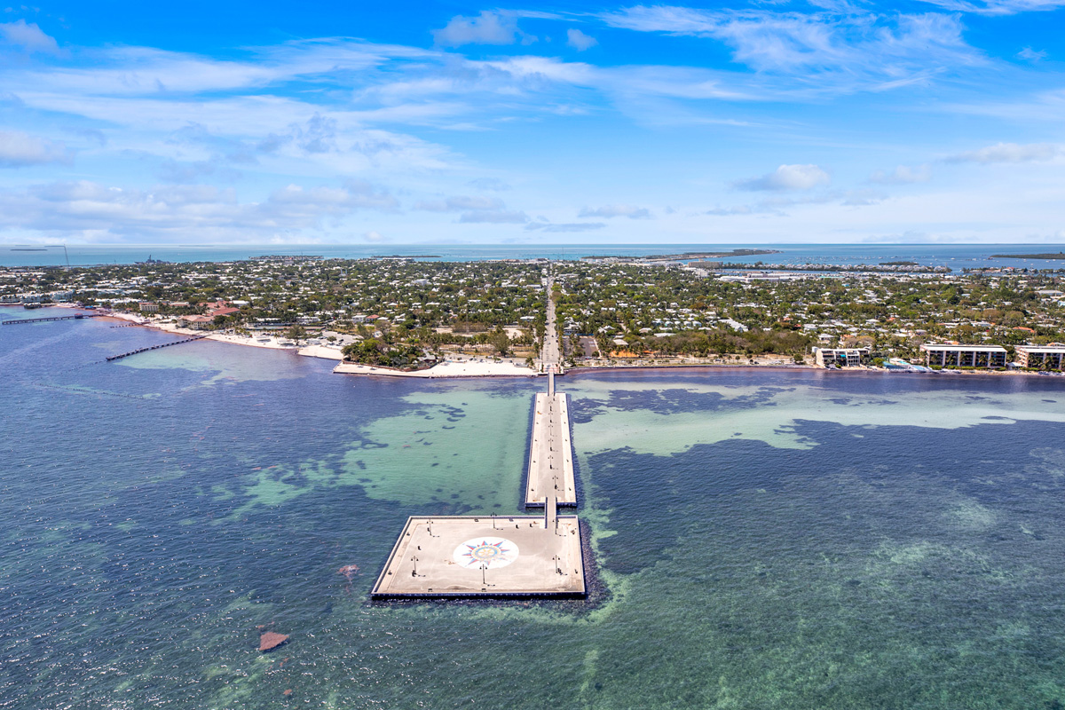
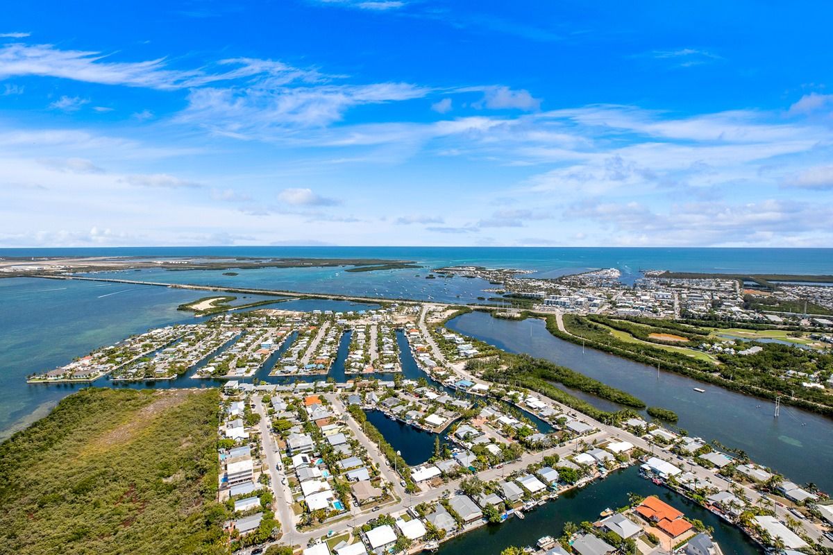
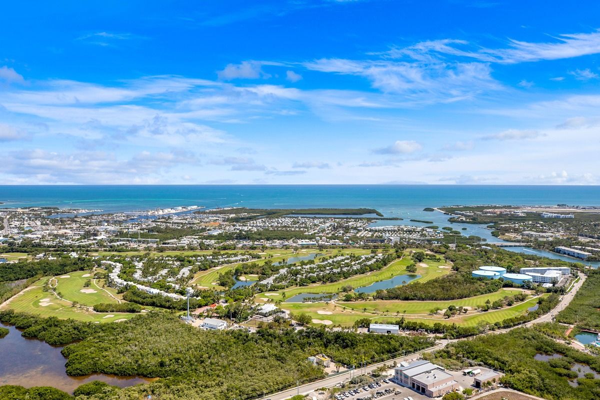
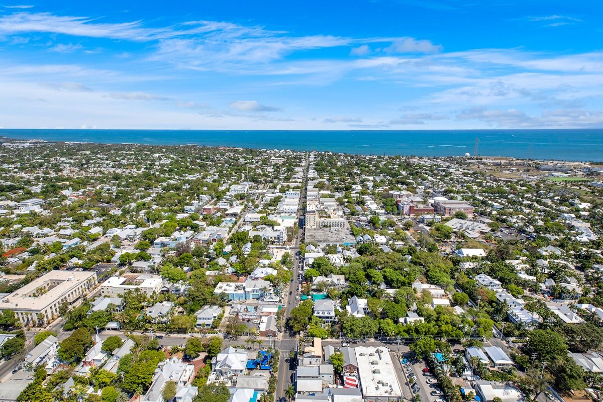
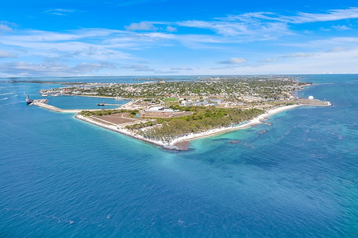
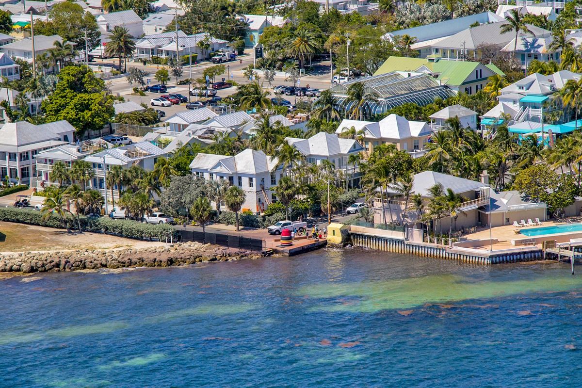
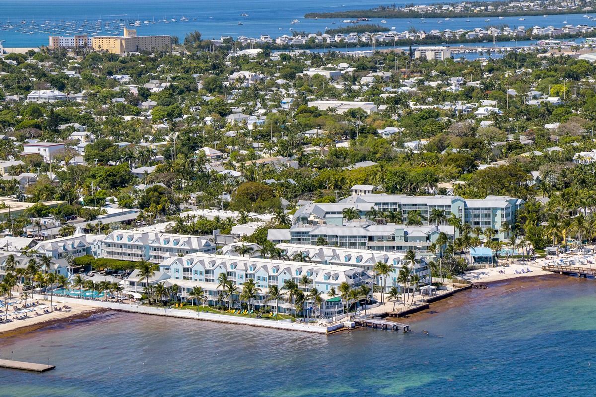
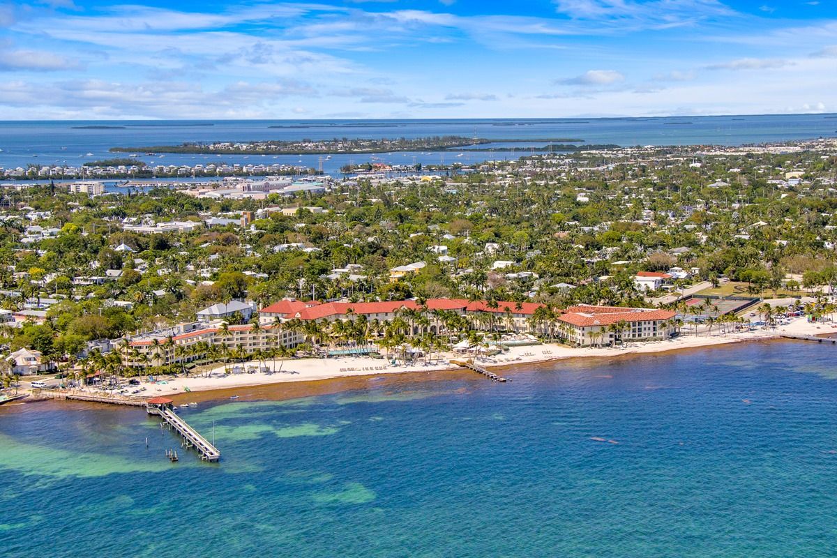
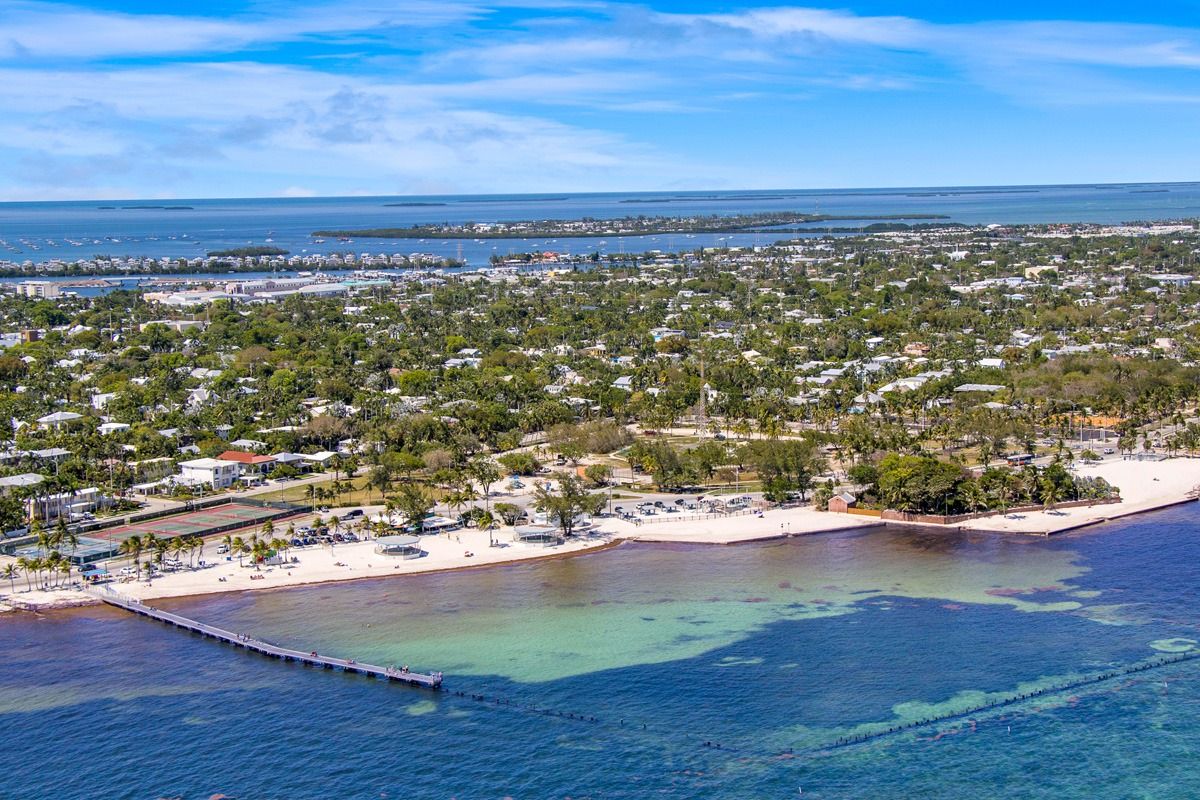
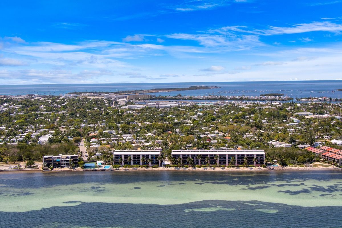
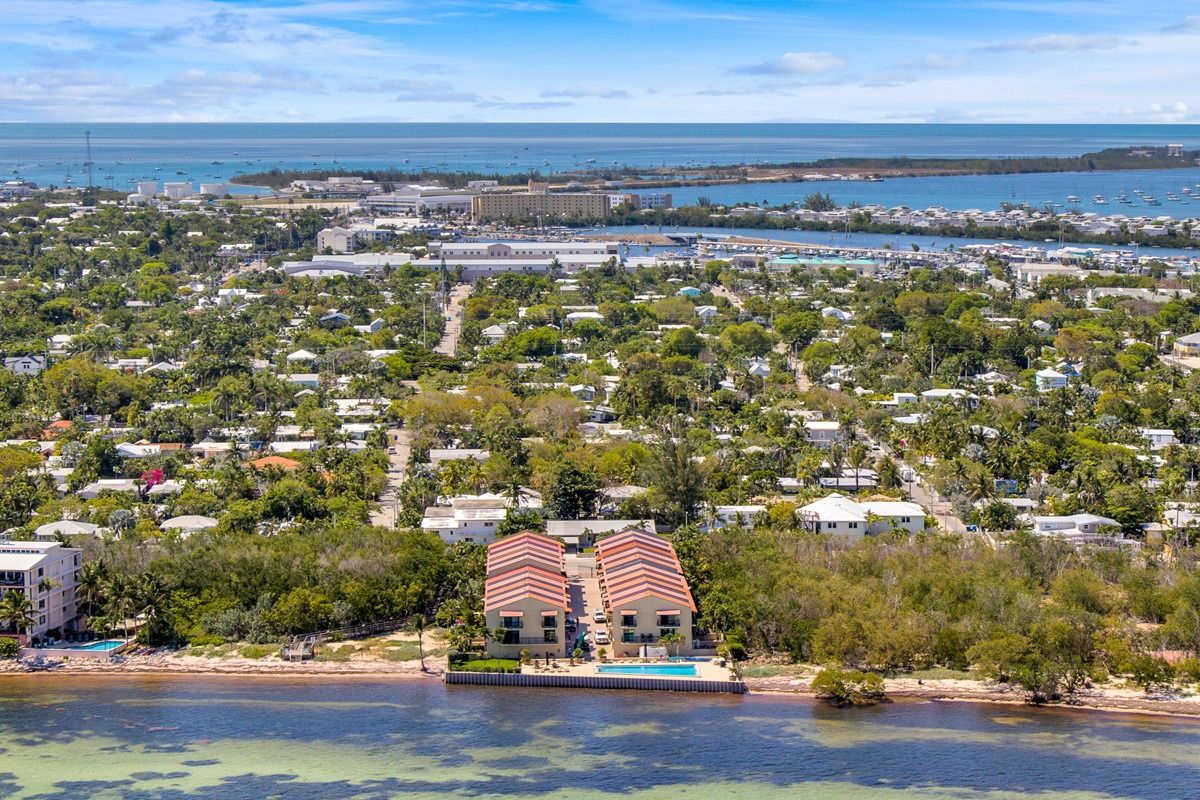
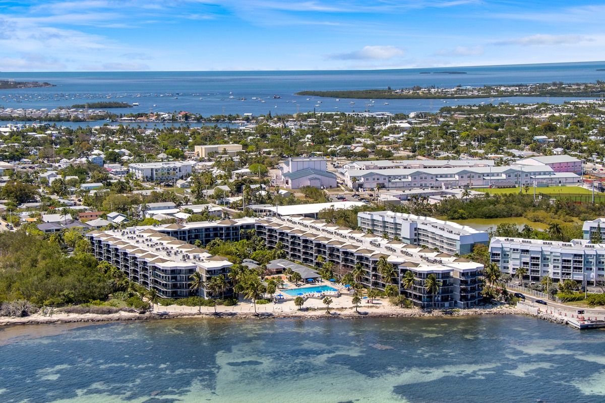
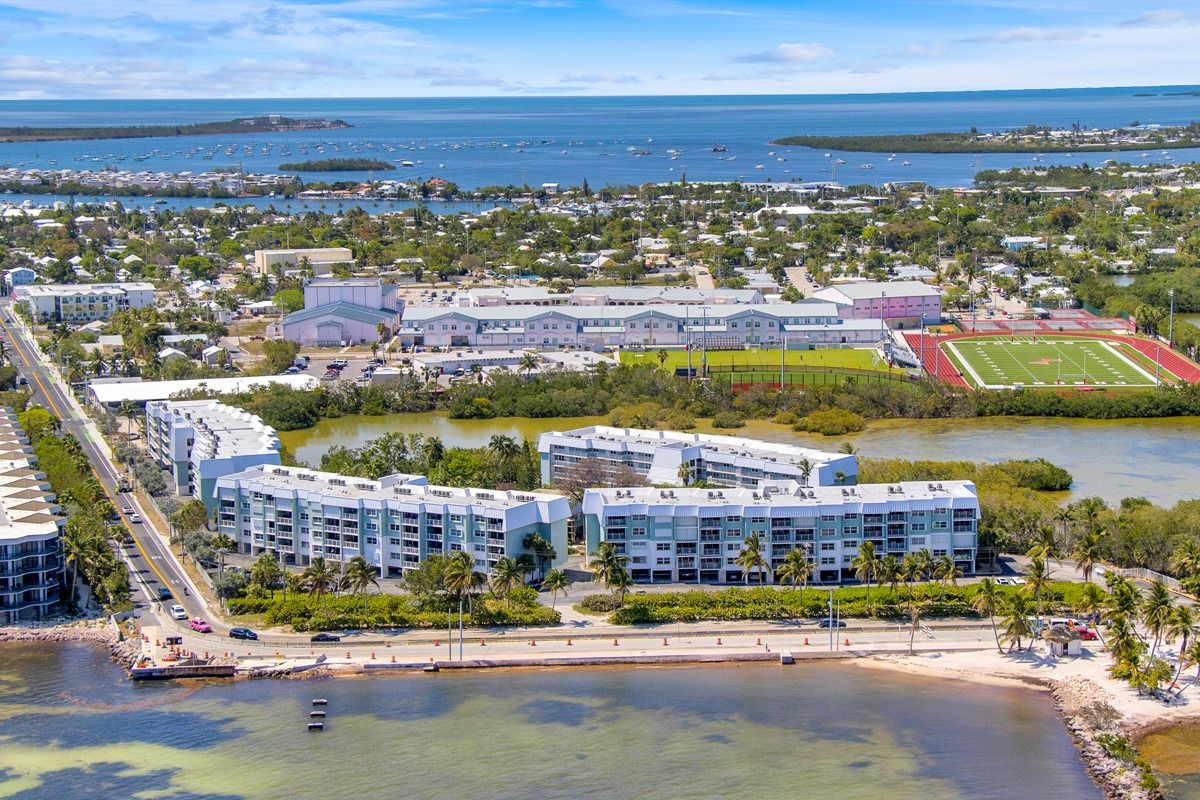
So if you need aerial photography south of Mile Marker 15 it is extremely important that you hire someone well versed with the laws and requirements for commercial drone work that also has manned aerial photography experience. Knowing what is possible by drone as well as what is possible with a helicopter flight will ensure that your project is completed safely, on time and at the best possible price. Sometimes the drone is the wrong tool for the job for the job and better images can be created if we simply caught a ride with Damien at Fly-KeyWest.com for your project. Here are some recent images taken aboard his Robinson R44 Clipper II helicopter.


